Mapping cycling facilities via Cycling Insights and the Geovelo bike navigation application
To guarantee a route calculation that makes all the difference, the data used by the calculator and the cycling infrastructure must be as up-to-date as possible. The Geovelo application relies on continuously updated data from OpenStreetMap, a free, open-source and collaborative platform that guarantees excellent information quality. It also relies on the Geovelo user community and any geographic data (GIS) available from local authorities.
Whether or not you have mapping data available, Cycling Insights offers to set up and maintain reference mapping of cycling infrastructures and associated services, such as facilities, bike parking and self-service repair stations. This mapping work is carried out entirely on OpenStreetMap (OSM) and then integrated into Cycling Insights, in line with the recommendations for open data, and is gradually returned to the common good.

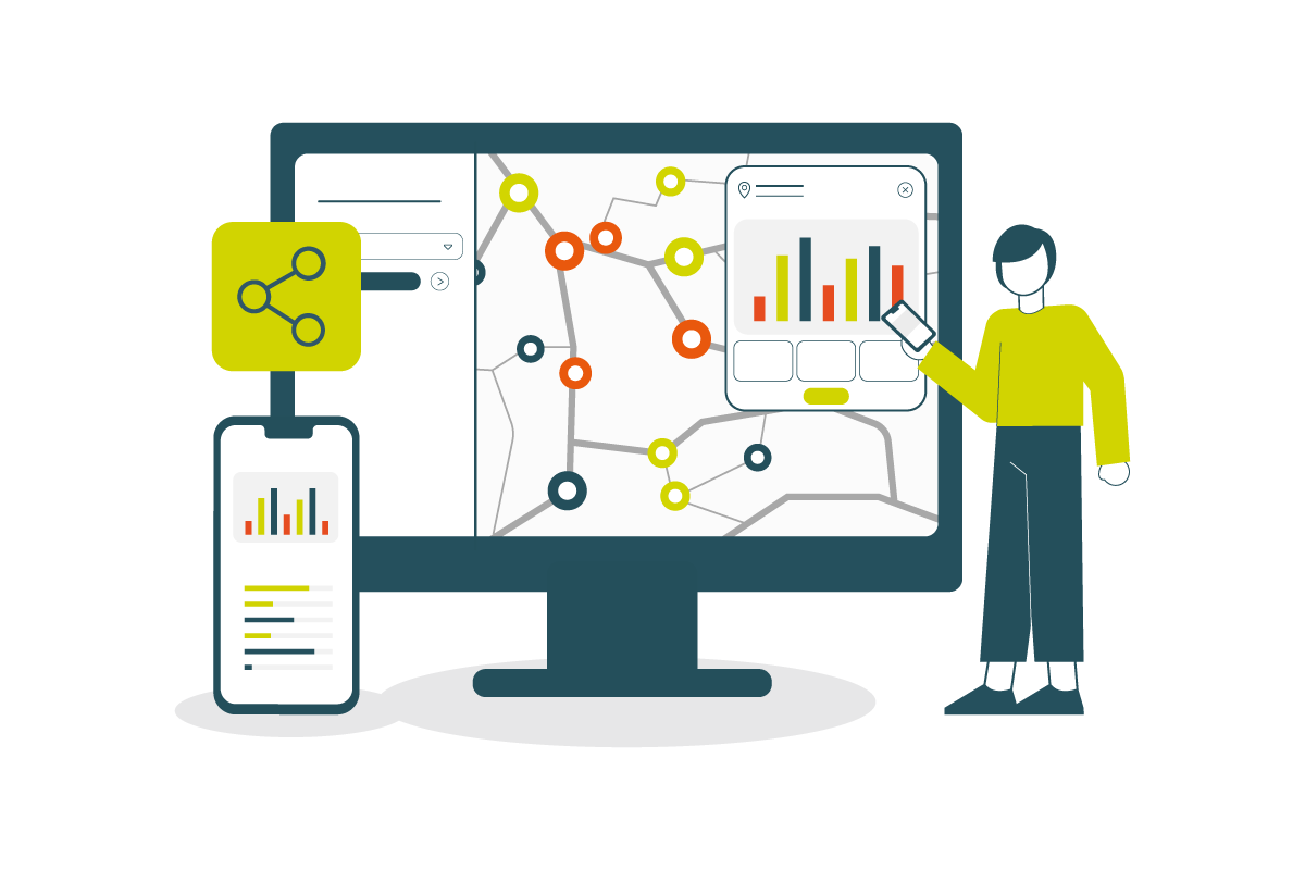
Figure 1: Visualization of cycling facilities
Thanks to Cycling Insights, you can access the results of this cartographic work and contribute to updating them. The mapping section offers several tabs:
- View cycling facilities map and associated statistics, such as the linear length of cycle paths, cycle lanes, bus lanes open to bikes, etc.
- Access accurate, up-to-date indicators on cycling facilities;
- Visualize bicycle parking facilities and associated statistics, such as the number of bicycle racks, covered, free/paid bicycle parking facilities, etc.
- Send GIS data to feed these maps and indicators, and monitor their processing, whether in progress or completed.
- View cartographic contributions shared by Geovelo users.
- Extract data referenced on OSM.

This cartographic work is at the heart of the Cycling Insights platform, as it ensures that the Geovelo guidance application is based on good quality data for everyday cyclists, with precise information on facilities: cycle lanes, cycle paths, meeting zones, and so on.
The system works as follows:
- The local authority first provides and updates information on cycling facilities via the Cycling.Insights platform, based directly on OpenStreetMap
- Cyclists can then use the application, which recommends the best cycling routes based on updated data on cycling facilities
- The information collected by cyclists feeds back into the Cycling.Insights platform with usage data to guide local authorities in their planning choices (which we’ll cover in more detail in article #3 of this article series!).
But how does the Geovelo application work?

Geovelo, a GPS navigation application dedicated to bicycle commuting
The mobile application allows you to be guided by bike, anywhere in the world! It offers profile options to personalize guidance (standard bike, bike with electric assistance, self-service bike, cargo bike, choice of safe, comfortable, sporty or direct routes, etc.), as well as suggestions for rides and marked routes (when these have been created by the local authority, via the Cycling Insights platform).
It is also available in more than 10 different languages, and features an "offline" function that saves the phone’s battery when guiding. You can download the app here for Android and IOS.
Note that it is not necessary to start the application and request a route to save and share your journeys with the community. An on-demand option enables you to do so, without starting the guidance application, which runs in the background and automatically detects bike journeys thanks to GPS detection and the smartphone’s accelerometer.)
NB: The data collected is used solely to improve cycling in the city, and for no other purpose (data is not shared with third-party applications, nor sold to other companies). The CNIL (French Data Protection Authority) has validated Geovelo as compatible with current regulations on the use of personal data.
Want to find out more about Cycling Insights or see a demo of the solution? Contact us now!
Read our previous articles on Cycling Insights:
Read our next articles on Cycling Insights: