


This article explores several examples of how visitor data can be used to preserve flora and fauna, from the mountains of Acadia National Park in the United States to the forests of the canton of Zurich in Switzerland.
Restoring the flora of Acadia National Park
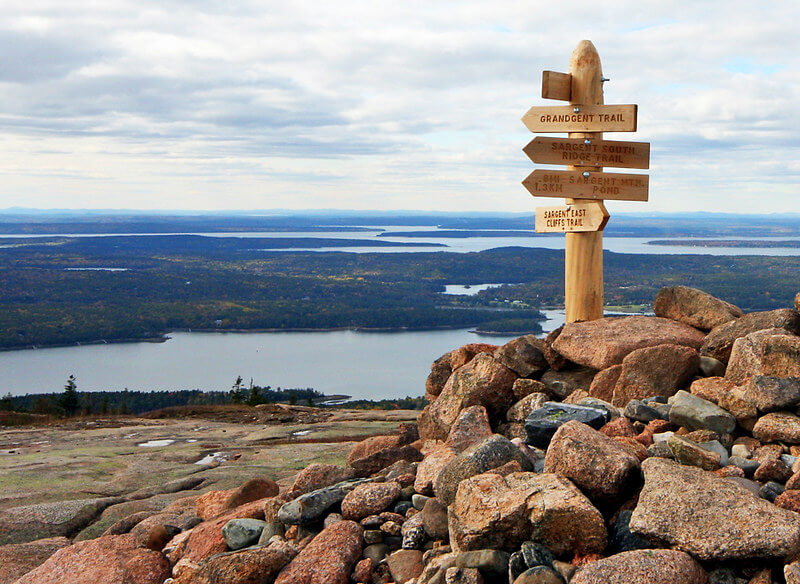
The second highest peak in Acadia National Park, located in the state of Maine in the United States, is the summit of Sargent Mountain. It boasts a breathtaking 360-degree view of the park, with the opportunity to swim in Maine’s oldest lake, Sargent Mountain Pond.
Its attractiveness has made it a popular tourist destination, although it has suffered from the degradation of its vegetation due to trampling. Closing the area was not enough to restore it, as the problem came from the soil itself, which had become too compact and packed down for the flora to flourish properly.
View from the summit of Mount Sargent, Acadia Park (photo credit: Dana Moos)
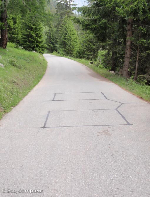
In June 2023, 72 volunteers transported bags of topsoil to the summit. They focused on restoring the damaged ‘unofficial’ trails (created by the repeated passage of hikers). The aim was to restore the soil so that the flora could return, thereby preserving biodiversity.
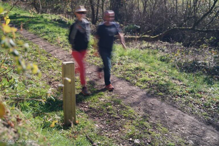
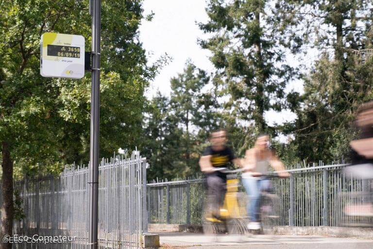
To monitor this restoration program over time, park managers installed a number of pedestrian counters on the rehabilitated paths, with a number of objectives:
- To keep a simple record of how many people use the paths and how this changed each year.
- To allocate volunteers to the highest-priority areas, based on the number of counts observed. This enabled the park to raise public awareness and take action directly after visitors passed through.
- To measure the extent to which visitors are informed about the plant restoration operation.
The park managers set up QR codes in the affected areas to inform visitors about the restoration operation. By comparing the number of QR codes viewed with the number of visits counted, they were able to get an idea of the percentage of people who engaged with the signs to learn about the conservation issues.
Protecting peregrine falcons in Acadia Park
Acadia Park is also a nesting space for peregrine falcons, a protected species that nests between April and August each year.
During this period, it is essential that visitors keep their distance to avoid stressing the adults who are raising their young.

Peregrine falcons perch near their nest in Acadia National Park (photo credit: Ashley L. Conti/Friends of Acadia)
This is why Acadia Park closes certain parts of the park during this period (notably the Precipice Trail on Champlain Mountain). The advantage of this is twofold.
On one hand, the birds and their young are protected from outside stressors caused by crowds. Secondly, people are protected from the birds! During the nesting season, peregrine falcons tend to be more aggressive and territorial. This precaution prevents accidents with visiting hikers.
To monitor the number of people venturing into areas closed to the public, park managers installed counters on the trails of Champlain Mountain. If the numbers become too high, staff can intervene, redirect traffic, and educate visitors. This is invaluable information for wildlife conservation.
Similarly, trail counts give an idea of the effectiveness of signage. Do people pay attention to the signs restricting access? Or do they enter anyway? Thanks to the counters installed, managers can measure the effectiveness of signage and decide to modify the size or content of information panels.
You can find out more about Acadia’s counting activities here
Analyzing the impact of human behavior on roe deer in Zürich, Switzerland
On the other side of the Atlantic, scientists at the University of Applied Sciences in Zürich, Switzerland, have carried out an interesting study linking visitor numbers with wildlife geolocation data.
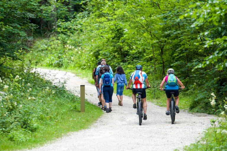
Martin Wyttenbach, head of the Ecological Research Unit, and his team measured the impact of leisure activities in natural areas such as mountain biking on the activity of roe deer. The aim: to understand human flows in order to better preserve wildlife habitats.
To achieve this, they captured fifteen roe deer and fitted them with GPS collars to monitor their behavior and identify their territories. They also installed several MULTI counters to measure pedestrian and bicycle traffic on nature trails near the Zürich conurbation where the roe deer live.
The analysis showed that the time profiles of visitors and roe deer are reversed: a strong peak in roe deer activity is recorded at dawn and dusk, while human use is concentrated in the ‘daytime’ hours. However, there is a slight overlap at the end of the day, when human activity remains high, while roe deer activity picks up again. This is a potential risk of disturbance that forest managers will have to look into.

By analyzing visitor numbers in different parts of the area, the scientists have identified areas of high human activity and areas of low human activity. Analysis of the behavior of roe deer in these two types of area shows that there are differences.
Where human activity was low, roe deer mostly stayed within their home range (identified as the area where 95% of the roe deer’s GPS positions were recorded). Meanwhile, in areas of high activity, flight behavior outside their territory was observed.
To go a step further, the scientists also analyzed the flight distance of roe deer when disturbed. The aim was to understand which types of outdoor activity were likely to cause the most disturbance to roe deer: mountain biking, hiking on trails, hiking off trails for observation, etc.
The study showed that most disturbances are of short duration: five minutes after being disturbed, the roe deer return to their initial position. However, roe deer were disturbed more when activities took place at night than during the day (greater flight distance), and more by off-trail activities than by on-trail activities (mountain biking).
Martin Wyttenbach’s analysis is that roe deer seem to be able to get used to outdoor activities, but that the results argue in favor of channeling activities onto identified trails. The aim is to enable visitors to enjoy the area without harming the wildlife by combining activities with awareness-raising.
You can find out more about this study on the website of the Swiss Academy of Natural Sciences